Anne S. Napier's Web Pages
Home | Hiking | Reunions | Excursions with Sophie
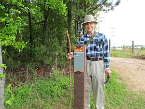
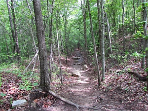
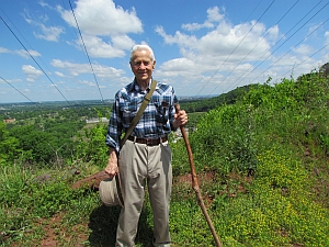
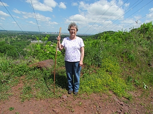
Anne & Dad Hike at Red Mountain Park, Birmingham, AL
April 6, 2012 ~ approximately 4 miles
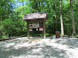
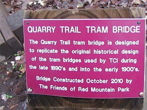
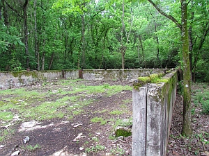
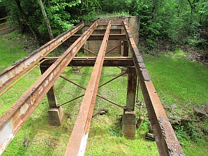
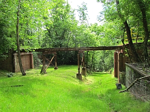
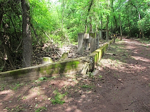
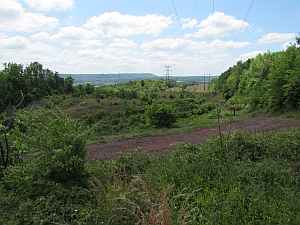
According to the information on the map of Red Mountain Park, the park "currently consists of 1,200 acres, stretching four-and-one-half miles along the ridges and hollows of Red Mountain...This area of Red Mountain was mined between 1863 and 1962...The mines were a source of iron ore for the production of armament that helped win two World Wars. Red Mountain was also an integral part of the buildings and bridges that are the skyline of American cities and the transportation systems that connect them."
For More Information
Red Mountain Park ~ http://www.redmountainpark.org/
Trail Map ~ http://www.redmountainpark.org/wp/wp-content/uploads/RMPMapFinal.pdf
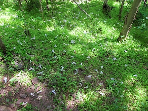
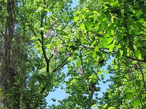
Princess Tree or Royal Paulownia, Paulownia tomentosa ~ http://plants.usda.gov/java/profile?symbol=pato2
Home | Hiking | Reunions | Excursions with Sophie
Photos in header: Niagara Falls; Big Sur, CA; Golden Gate Bridge, CA; Sunset on the Baltic Sea;
Virginia Creeper Trail, VA; Emerald Lake, Yukon, Canada; Glacier Bay, Alaska; Sunset on the Pacific; Triple Falls at
DuPont Forest, NC.
Header Photo Credits: All Anne S. Napier except Niagara Falls by Herman Stubblefield.
Photos by Anne S. Napier
Updated August 16, 2013
